GIS Mapping Program
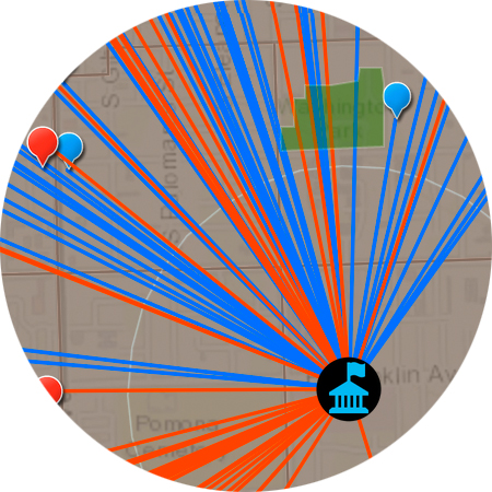
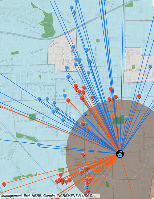
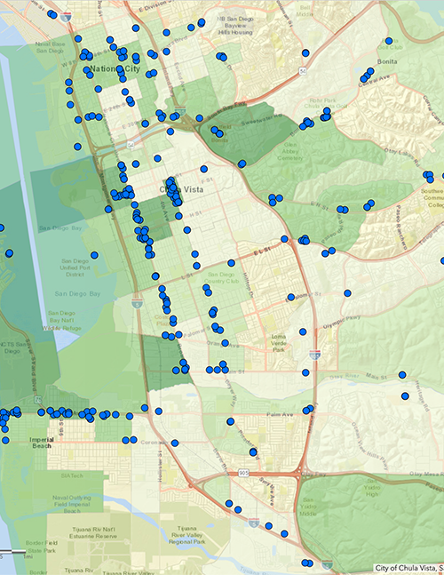
Through its policy mapping lab, the San Diego Countywide Media Advocacy project uses Geographic Information System (GIS) technology to reveal how environmental conditions in specific geographic locations impact public health and safety.
The goal of IPS’s Mapping Program is to advocate for policy changes that support the equitable allocation of resources to communities that have the greatest need, ensuring that everyone has the opportunity to live and work in a healthy, safe environment.
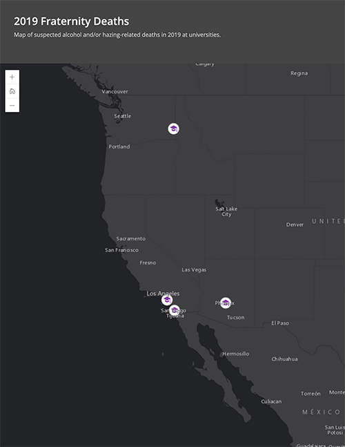
This is accomplished through story maps, data collection tools and geospatial analyses, helping decision-makers visualize specific neighborhood conditions that need to be addressed to safeguard residents.
In addition to supporting equity-focused field work, the policy lab has created tools for community, including an app to inform San Diego residents where to locate prescription drug drop-off boxes and a story map to educate the public, city council members, and property managers/owners about the Crime-Free Multi-Unit Housing initiative in San Diego County.
